
Our journey is a testament to dedication, creativity and expertise. With our vision of excellence in geodesy, we aim to drive positive changes across sectors, from technical and artistic to research contributions and beyond.
At our core, we believe in the power of collaboration to shape a better future. Whether it’s creating accurate spatial databases or developing advanced solutions that enhance efficiency and support the sustainability of projects across sectors.
As we move forward, we remain committed to upholding the values and principles that have made us who we are today. We look to the future with enthusiasm and determination, knowing that together, we can continue to align with a brighter, more sustainable future.
About Us


MISSION
To create value and improve lives through Geo-Spatial Technologies.


VISION
To be recognized and respected as the Geo-Spatial in Oman


VALUES
We always inclusive and believing good ideas can come from anyone, anywhere. Caring deeply about Surveying and Geomagnetic and doing the right thing, always acting safely and with integrity. Continuously delivering outstanding service for our clients

Graduated from Dublin Institute of Technology, Master in Geospatial Engineering. Bachelor in Spatial Science Technology from the University of Southern Queensland. Involved in different fields of geomatics, technical academic, consultant and research.
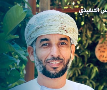
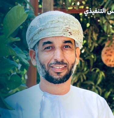
Majid Alkiyumi
Qasim Humaid Al Hamdi
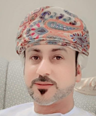
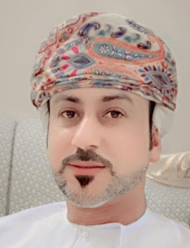
Co-Founder & Business Development Manager
Founder, Technical Consultant, & Geospatial Data expert.
Management
Majid@Attazamun.om
Through partnerships, the company aims to form strong relationships that support national development efforts and contribute to creating an integrated and sustainable work environment. The company's services focus on a deep understanding of the different needs of customers and providing customized solutions for each category of the target audience.
The company invests heavily in building strategic partnerships with ministries and government agencies. Strategic partnerships also include cooperation with international companies specializing in urban planning and infrastructure, which allows the company to access the latest technologies and international standards.
The company enhances its technical and technological capabilities through strategic alliances with consulting offices and specialized companies that provide integrated solutions that support Oman's development goals.
We believe that partnership and collaboration are the cornerstones of shaping a more accurate and sustainable future. Partnerships contribute to strengthening the company’s position as a leading provider of geospatial solutions, enabling it to effectively contribute to achieving Oman Vision 2040.
Strategic Partners
Partnership and Cooperation
SERVICES


Surveying & Urban Planning
Land Survey, and Satellite Imagery
Drone Survey
We provide various services related to urban planning such as: division, separation, extension, merging, shaping plots, Approval and registration of ownership, and marking the perimeter of plot
With our expertise in surveying and geodesy, we use a combination of advanced technology and specialist skills to transform terrestrial, aerial and space survey data and through our precise data processing, we will create practical resources and models that can be used effectively.
Provision of 3D Models and Digital Elevation Model (DEM), Digital Surface Model (DSM), Digital Terrain Model (DTM). Building Information Modeling (BIM) can also be used.


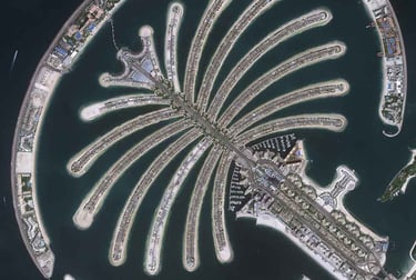
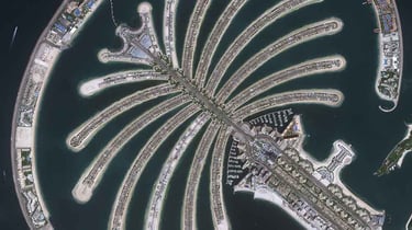
It's considered one of the basic tools for providing accurate maps of urban areas and roads. It can be used in a wide range of programs and applications (topographic surveys, detailed maps, digital elevation models, 3D models and road network analyses), which contributes to improving planning and implementation processes.
GIS Services and Solutions
We use the latest technical solutions and aim to expand the scope of our services to enhance our role in achieving sustainable development. We work to develop these solutions to be in line with the needs of modern cities, with our focus on improving the quality of life in urban and rural areas.
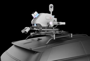
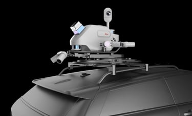
Mobile Mapping System (MMS)
We are Your Best Choice
Case Studies and Innovation Solutions
Providing innovative technical solutions in the fields of Surveying, geodetic surveying, Planning and Geographic Information Systems. We ensure that all our solutions are supported by the latest technologies to achieve a positive and sustainable impact.
Surveying, Planning, Consultations Research & Development
We use the latest technical solutions and aim to expand the scope of our services to enhance our role in achieving sustainable development. We work to develop these solutions to be in line with the needs of modern cities, with our focus on improving the quality of life in urban and rural areas
Training & Workshop Services in Surveying & Geomatics
Organizing and preparing training programs/workshops to qualify specialized technical surveyor in several fields
Contact Us


Happy to help
+968 92463464
info@attazamun.com
BAB-Design © 2025. All rights reserved.
